

Trailblaze Through History
Camp Wildcat Trails
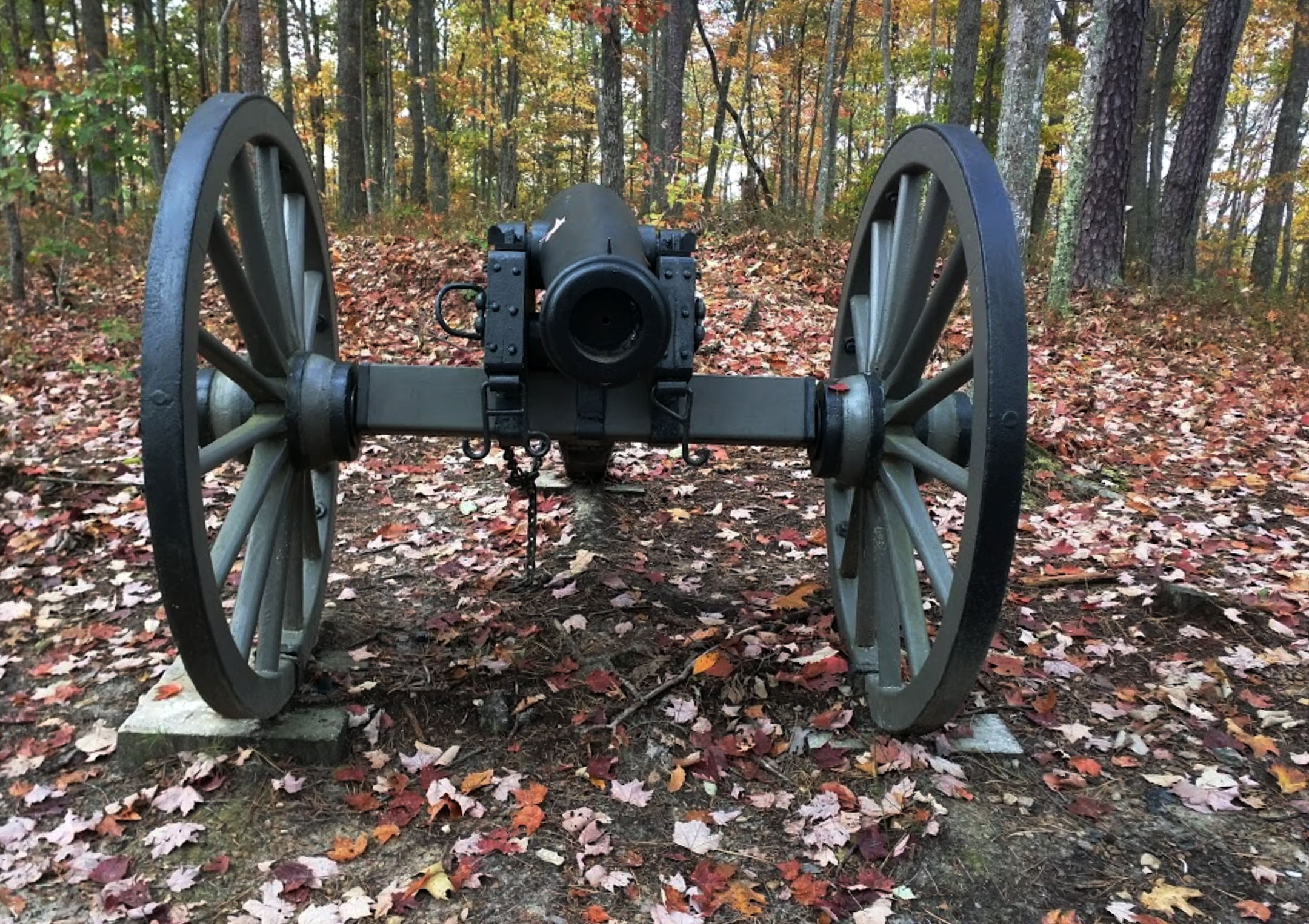
Though the armies have long since disappeared, many of their trenches remain as reminders of what happened on that cool October day. If you visit the battlefield and stand quietly behind the trenches you may feel your heart begin to pound just like the soldiers' hearts pounded in 1861.
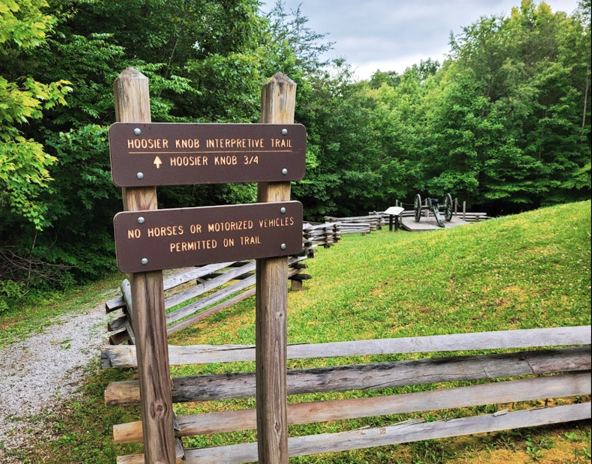
• Hoosier Knob Interpretive Trail - 1.5 miles out and back with interpretive signs. A steep grade will be encountered walking up Hoosier Knob.
• Infantry Ridge Interpretive Trail - 1/2 mile out and back with interpretive signs with a view of Hospital Rock.
• Private Lewis McFerran Trail - 2 mile loop, non-surfaced walking trail featuring steep grades through the battlefield’s hardwood forest. Dedicated to Private Lewis McFerran, the first Union soldier killed in action at the Battle of Camp Wildcat.
• Robinson Spring Trail - 600 feet out and back with a steep grade. Access to the Robinson Homestead spring next to the Old Wilderness Road.
The battlefield looks much different from the etchings made in 1861. Most of it has been logged over several times. A few trails lead to the faint outlines of old trenches that remain. The remoteness of the location of this battle makes it unique because you can still view these trenches.
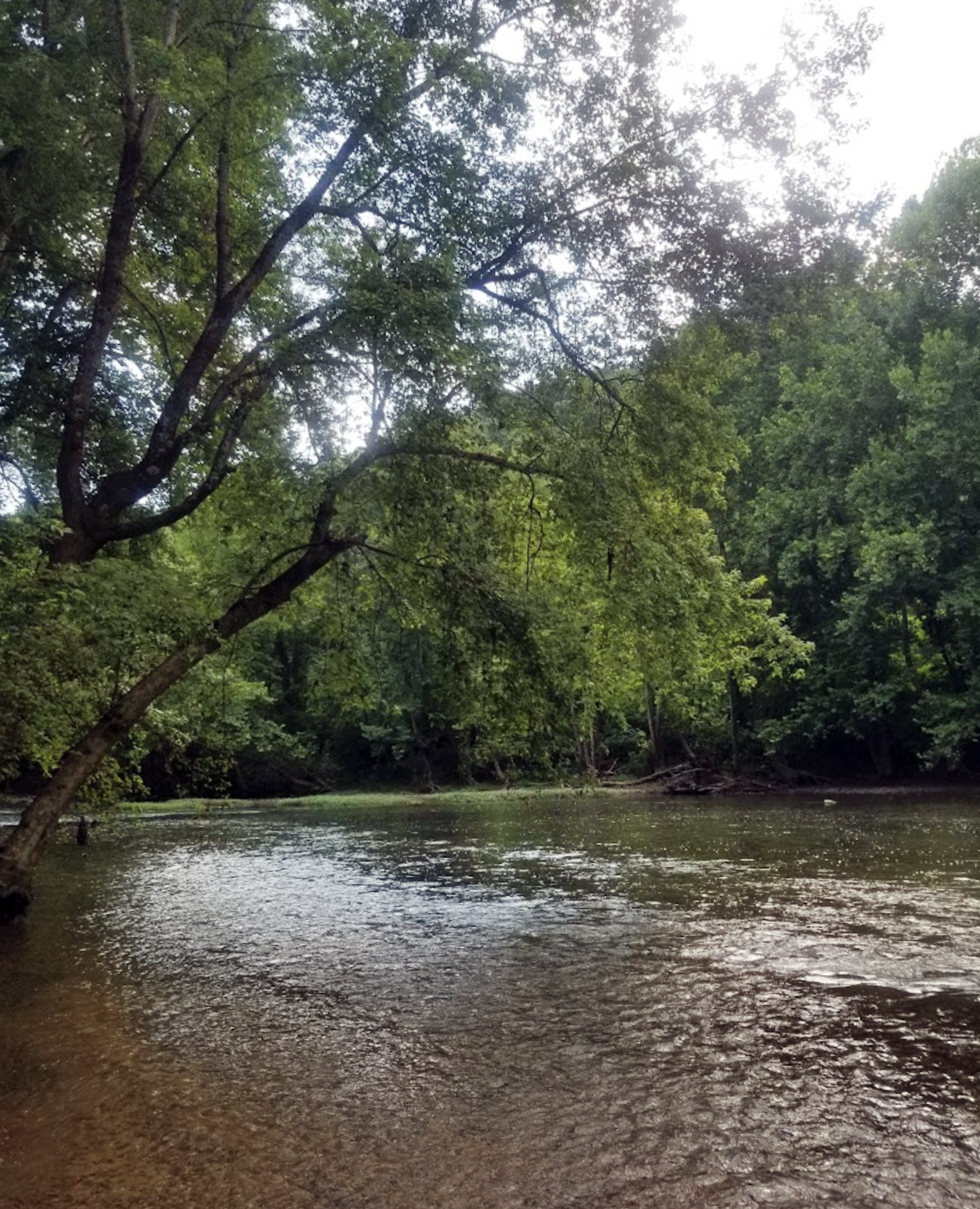
Located approximately eight miles north of London, KY, near the small rural community of Hazel Patch, the battlefield is located on the Wilderness Road which extends through the Cumberland Gap to Crab Orchard and westward through the Bluegrass region of Kentucky to the Ohio River. A narrow gravel road winds its way up Wildcat Mountain and northbound to the river crossing on the Rockcastle River near Livingston. Here you can travel several miles along the historic Wilderness Road surrounded by woodlands and small farms much as they existed at the time of the Civil War. The Old Wilderness Road has long since been replaced by U.S. 25 and more recently by Interstate 75.
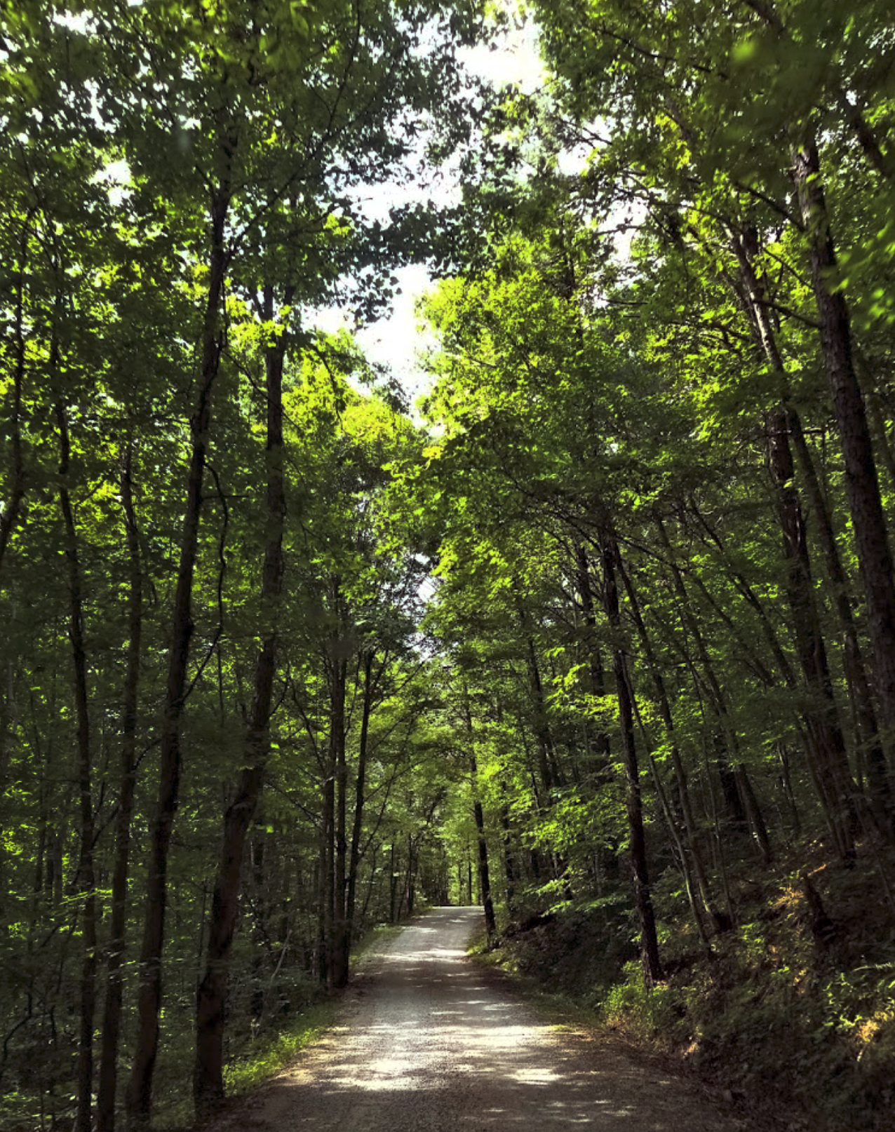
Late in 2007, the Infantry Ridge Trail was completed to allow easy access to the entire battlefield. Camp Wildcat Battlefield now has trails to Hoosier Knob and Robinson Spring. The trails are ideal for both nature walks and for seeing Camp Wildcat’s trenches and artillery emplacements. The site has a pavilion with interpretive signs, a parking area, trails, and vault toilets.
Contact the London Ranger Station at (606) 864-4163 for information about road conditions.

Wildcat Trail is closed to horse use and motorized vehicles.
Camping and firebuilding in rock shelters is prohibited.
Disturbing or collecting artifacts is prohibited.
This battlefield park is maintained by volunteers, please help us keep our trails clean and preserve our history.
Trail Head Location
Degrees Minutes Seconds:
Latitude: 371555N
Longitude: 0841205W
Decimal Degrees:
Latitude: 37.26528
Longitude: -84.20139
ITINERARIES
For a day trip a long weekend, embark on a memorable adventure where tradition, history, and natural beauty converge in London, Kentucky. Unearth the diverse tapestry of experiences that await you, creating cherished memories for years to come.